CLASP2, the Chromospheric LAyer
SpectroPolarimeter is the second
flight of a sounding rocket designed to investigate the magnetic field
of the upper chromosphere. Flight data was taken 2019-04-11 from 16:51:31 -
16:58:56. The context Slit Jaw imager remains unchanged from the first
flight and observes in a bandpass with ~3.5nm FWHM centered on 121.6nm
(Lyman-α). The two SpectroPolarimetric imagers observe in a
wavelength range of approximately 279.2-280.7nm (slight differences
between the two cameras) and capture the MgII h and k lines. The
flight data released here are raw, no calibration has been applied and
the SP data has not been demodulated into the Stokes parameters. Level
1 calibrated data will be available by April 2020 along with a Users
Guide and other documentation. Questions about CLASP2 can be directed
toward any of the following team members: Co-Principal Investigators
David McKenzie (david.e.mckenzie@nasa.gov), Ryoko Ishikawa
(ryoko.ishikawa@nao.ac.jp), Javier Trujillo-Bueno (jtb@iac.es), and
Frédéric Auchère
(frederic.auchere@ias.u-psud.fr), or the Project Scientists Laurel
Rachmeler (laurel.rachmeler@nasa.gov)
and Joten Okamoto (joten.okamoto@nao.ac.jp)
NameLast modifiedSizeDescriptionParent Directory -
flight/ 2019-09-17 03:25 - Directory containing CLASP2 level 0 FITS files
coordinated_observations/ 2019-09-12 05:44 - Directory containing IRIS coordinated observation files
CLASP2_SJ.tar.gz 2019-08-01 12:43 280M Gzipped TAR of CLASP2 level 0 Slit-Jaw FITS images
CLASP2_SP2.tar.gz 2019-08-01 12:43 461M Gzipped TAR of CLASP2 level 0 SpectroPolarimetric FITS image, camera SP2 (not demodulated)
CLASP2_SP1.tar.gz 2019-08-01 12:43 454M Gzipped TAR of CLASP2 level 0 SpectroPolarimetric FITS image, camera SP1 (not demodulated)
CLASP2_all.tar.gz 2019-07-18 14:12 1.2G Gzipped TAR of all CLASP2 level 0 FITS files
CLASP2 data is also available via the VSO IDL client. Examples for
accessing the data are given below.
IDL> files = vso_search('2019-04-11 16:51:00', '2019-04-11 16:59:00', source='CLASP2')
Records Returned : MSFC : 5/5
'files' will contain such information as
# INSTRUMENT            SOURCE  FILEID                                                                      SIZE
0 CLASP2 ALL data       CLASP2  https://netdrms02...edu/MSFC/CLASP2/CLASP2_all.tar.gz                      1.3 GB
1 CLASP2 slit jaw data  CLASP2  https://netdrms02...edu/MSFC/CLASP2/CLASP2_SJ.tar.gz                       293 MB
2 CLASP2 SP1 data       CLASP2  https://netdrms02...edu/MSFC/CLASP2/CLASP2_SP1.tar.gz                      4.8 GB
3 CLASP2 SP2 data       CLASP2  https://netdrms02...edu/MSFC/CLASP2/CLASP2_SP2.tar.gz                      4.8 GB
4 CLASP2 IRIS data      CLASP2  https://netdrms02...edu/MSFC/CLASP2/coord.../IRIS/OBS.../OBS3683603440.tar 5.2 GB
to download the data use
IDL> ret = vso_get(files)
Please let us know if you have any problems or questions: help@virtualsolar.org
Image: The CLASP-2 mission launch on April 11 2019 from White Sands
Missile Range in New Mexico.
Image Credit: US Army Photo, White Sands Missile Range
Last updated: 2019-09-11 16:10


Name Last modified Size Description
Parent Directory -
flight/ 2019-09-17 03:25 - Directory containing CLASP2 level 0 FITS files
CLASP2_SJ.tar.gz 2019-08-01 12:43 280M Gzipped TAR of CLASP2 level 0 Slit-Jaw FITS images
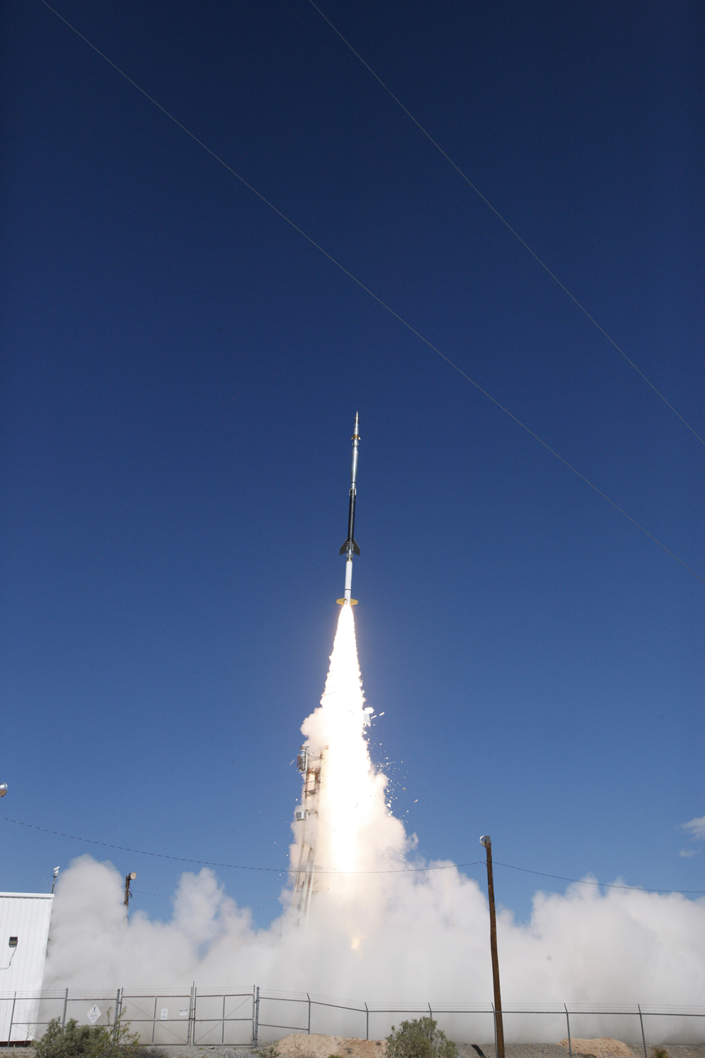 Image: The CLASP-2 mission launch on April 11 2019 from White Sands
Missile Range in New Mexico.
Image: The CLASP-2 mission launch on April 11 2019 from White Sands
Missile Range in New Mexico.